

It has rained on and off and then on again, hard, and the ground is saturated so the water runs right into the river. This is what the Old Swimming Hole looks like. We told Lorenzo about this and he asked if the New Beach was gone. We said we would go look, as soon as it stopped raining so hard.
The path to New Beach used to go through a low, open wooded area. That is now a pond. Our old path would go along the right side of what is now under water. You can see the river itself in the distance. The whitecaps are the water pouring over the rocks.

In order to get to where we could look at New Beach, we had to cross some streams.

We went past a pile of crushed metal left over from the flood. It looked like part of an RV. The flood, which was named Irene, picked up whole RVs, trailers and at least four houses in the town and pushed them downstream, wrecking them and twisting them up into little pieces. This was in 2011, seven years ago. Everyone who was in the town then remembers.
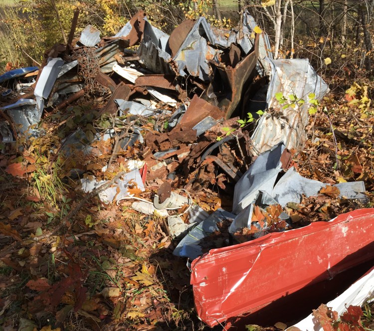
If you look closely here you can see a bicycle. Somebody lost their bicycle.

Finally we got to where we could look and see where New Beach used to be. See that white pole hanging out over the water? That used to be up on top of a sand pile and people would hang towels on it or sit near it. You can see the pale yellow of the sand under the shallower parts of the water. That’s how high the water is now.
This is not a real flood, like Irene. This is just a lot of rain. This happens a lot.
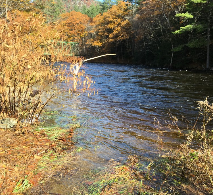
So New Beach, which was created along the West River below the State Park, is gone. However, it was a flood that created the first New Beach so when there is the next flood, we will probably get another on the same way. Maybe the sand will be there. Or maybe not. Maybe it will be down the river a ways.
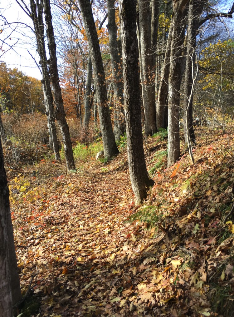
On the way back, we passed this lovely group of trees. There should be a special word for a group of young trees all standing together.
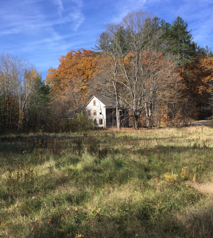
Then we came out at the bottom of the field below the Tewksbury house.
Still there.

Good morning, Rich!
Wow.